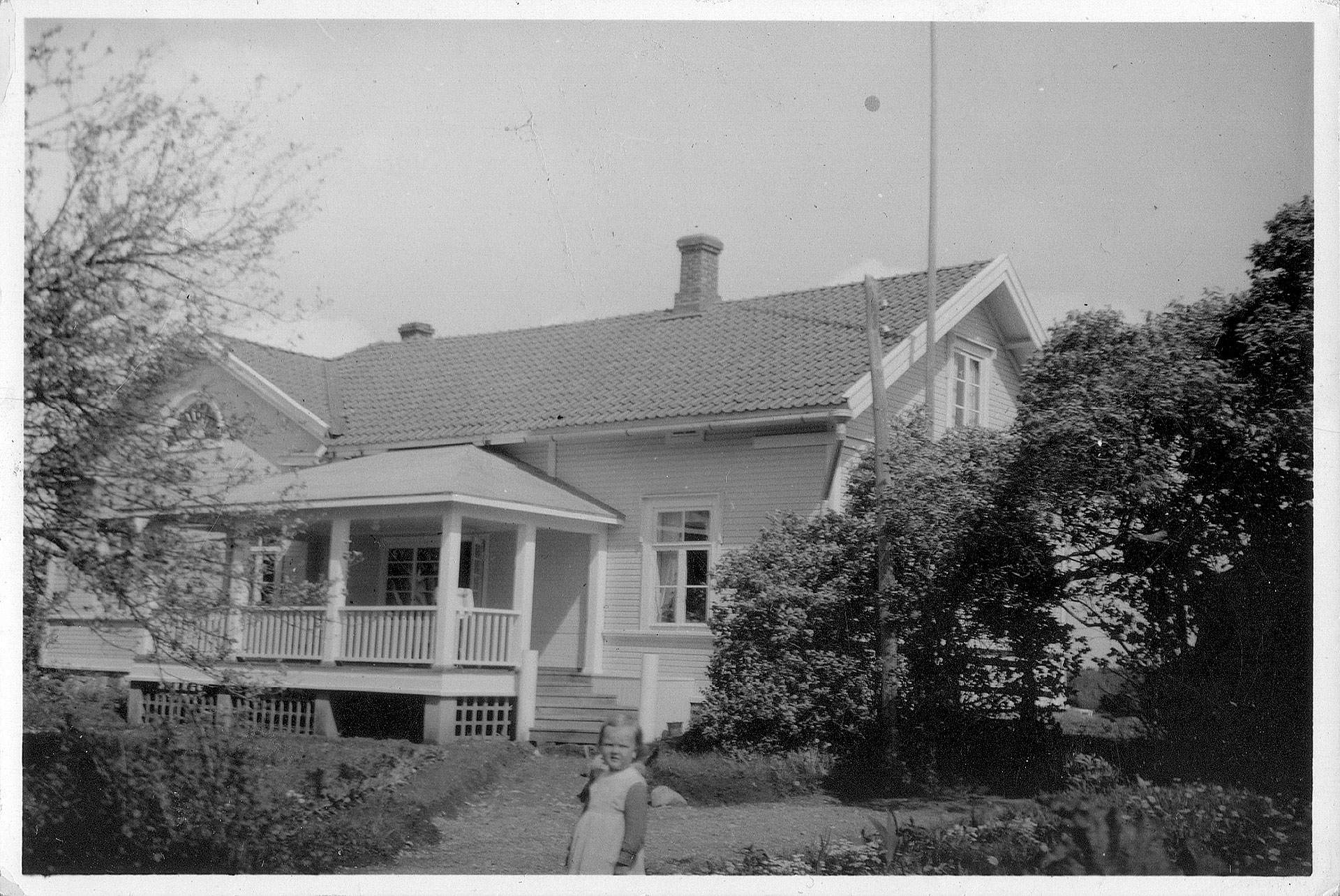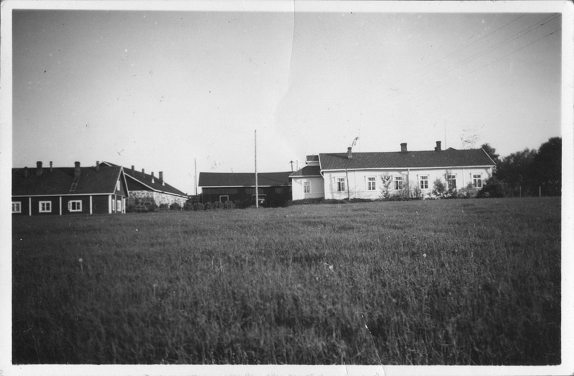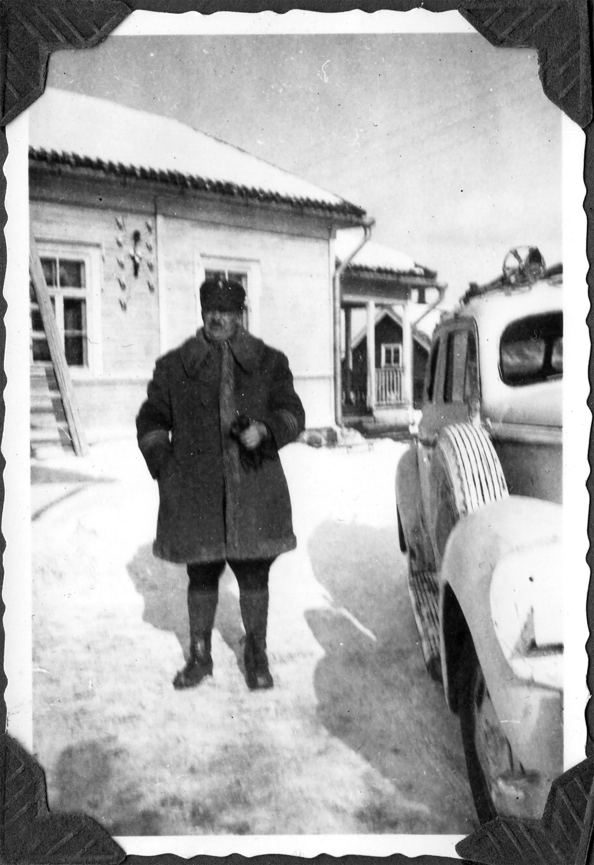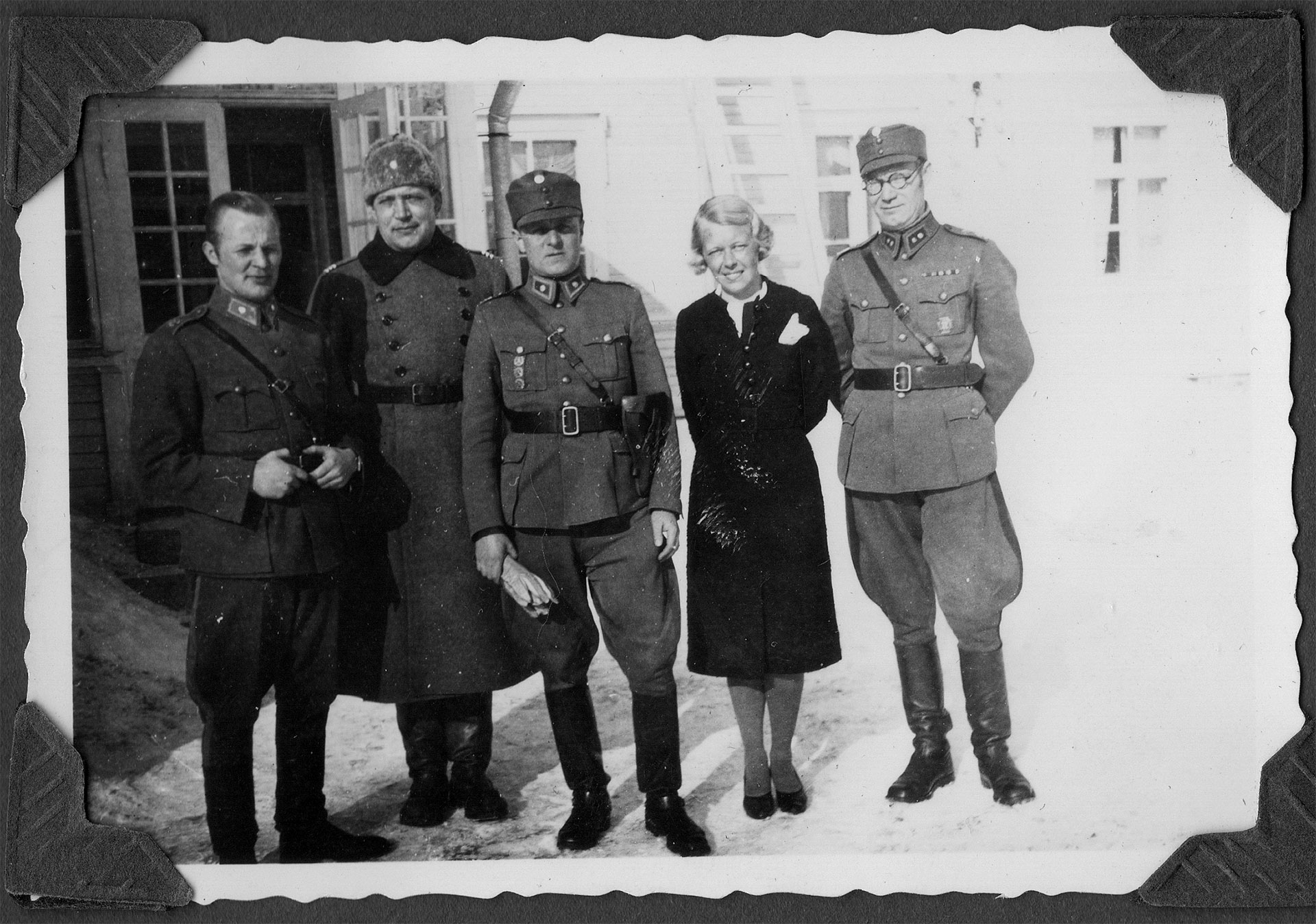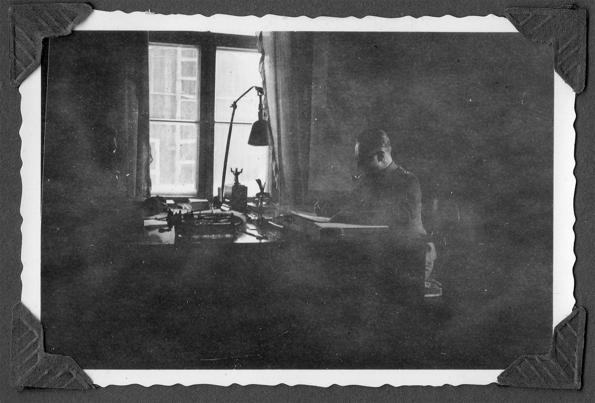
The Defence Forces managed cartographical matters in the Mannila building in Otava during the Winter War and again during the Continuation War, until the end of 1942.
Under the division’s command, the topography battalion did mapping work and prepared maps of Eastern Karelia.
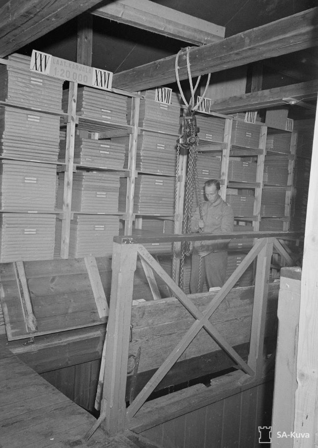
Maps that were salvaged in battle were used as the basis for drawing up operational maps showing the theatre of war. Maps were prepared with the help of photographic material obtained on surveillance flights. Maps received from the Germans were also distributed to the troops. The topography division supervised the printing of maps, and it was not permitted to take them out of the country during the war.
Mannila is a functioning agricultural and forestry area, which also includes an Italian delicatessen, espresso bar and summer pizzeria known as InStile Mannila.